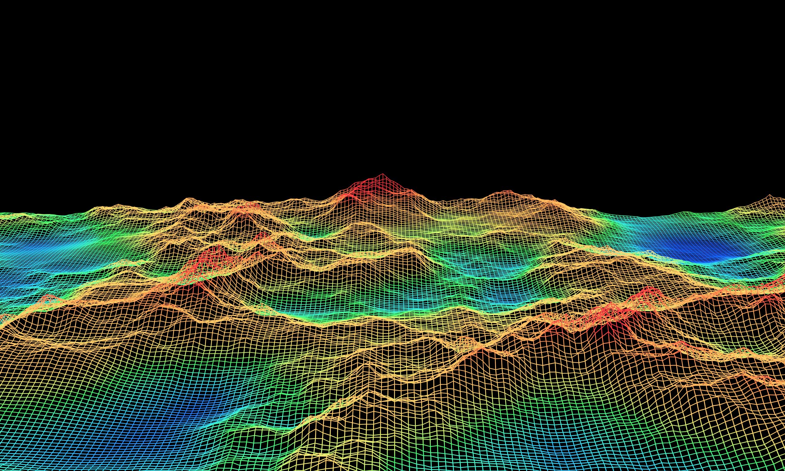
Ground Models
Almost all built infrastructure interacts with the ground in some form or another, but unlike most engineering materials, the ground cannot be designed, manufactured or specified. This is particularly true offshore, where geoscientists cannot step foot on site.
The acquisition of site-specific data needed to characterise the ground and enable design work, can also be costly and time-consuming, so there is a real need to extract maximum value from regional and site-specific information. This is where ground modelling comes in.
First, we bring together geophysical, geotechnical, and other relevant geoscience data all in one place. Our team of specialists then works collaboratively in reviewing and interpreting the available data, developing a single coherent representation of the ground conditions and geohazards impacting a site.

Market Challenges
When constructing and operating offshore, pre-existing ground information can be sparse, particularly as the offshore wind industry extends further offshore and into previously unexplored areas of the seafloor.
Many areas now being considered for offshore wind development are not well studied, and little is known about potential constraints to development posed by seabed conditions and active processes on site.
It is therefore, increasingly important to develop a ground model at the first opportunity, then iterate that ground model to guide site surveys and investigations, answer critical questions, reduce uncertainties and mitigate geo-risks at an early stage.
Our Solutions
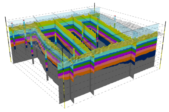
OWC’s ground models are built around three key elements: terrain, subsurface, and soil/rock.
These elements are unified by the principles of engineering geology and geohazard assessment, with the entire process underpinned by meticulous data management.
Our services in ground modelling include:
- Geoscience desktop study
- Conceptual ground model
- Terrain model
- Subsurface model
- Soil/rock model
- Geo-risk register
- Foundation favourability assessment
- 3D GIS ground model
We provide continued support as ground models are iterated to incorporate new data, and as uncertainties are identified, investigated, and reduced. When sufficiently refined, the ground model provides an invaluable resource to support foundation design and installation.
The value we bring
+60 desktop studies and ground models.
Tried and tested data management framework specifically designed for ground model development, maintenance, and communication.
1000+ WTGs supported by OWC ground models and GIRs.
Integrated geoteam incl. specialists in engineering geology, geophysics, geotechnics, geomorphology, geohazards, and geographic information systems (GIS).
Global experience covering a broad range of ground conditions and geohazards.
Phased approach to ground model development, extracting max. value from geoscience data at all stages from initial desktop study to installation.
Questions? Get in touch
Related Services
Technical Studies
Geoscience
Fixed & Floating Foundation Engineering & Design
Related News & Media
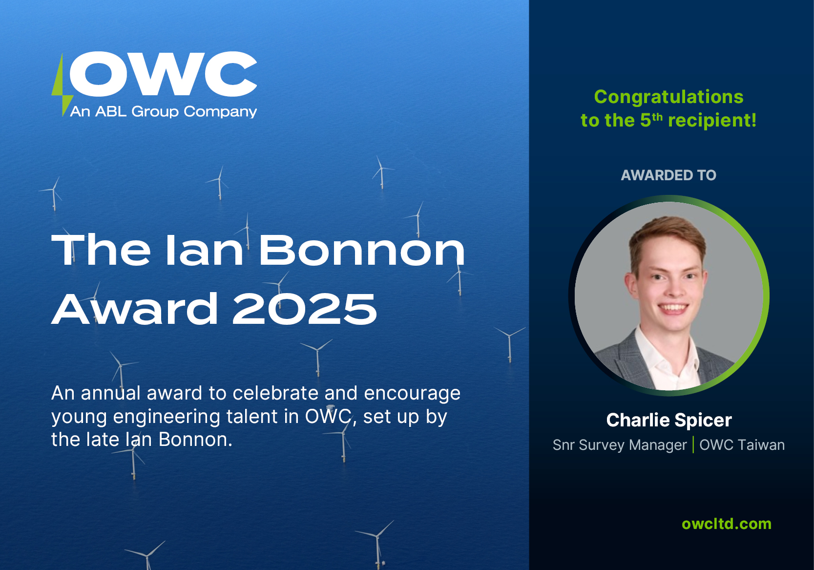
OWC Announces Winner of the Ian Bonnon Award 2025

OWC engaged for Portuguese wind farm areas

Adding Value During Delay
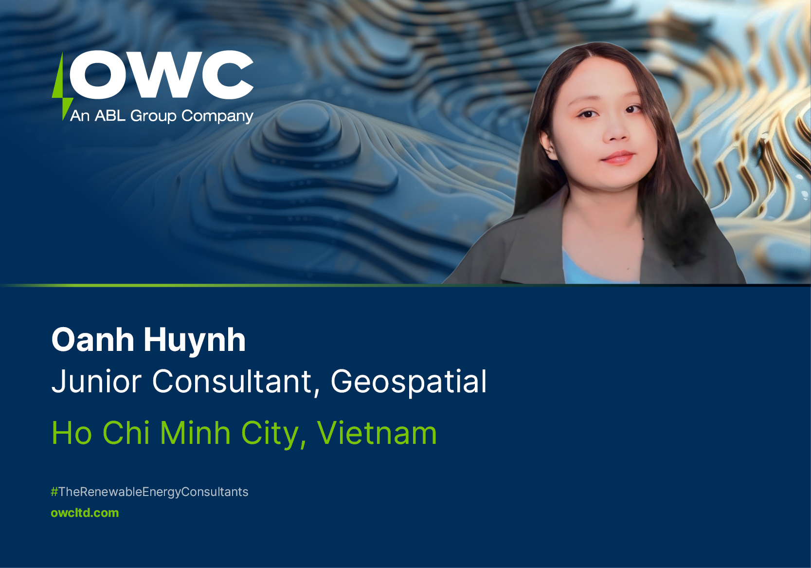
Meet the Team: Oanh Huynh | OWC Vietnam
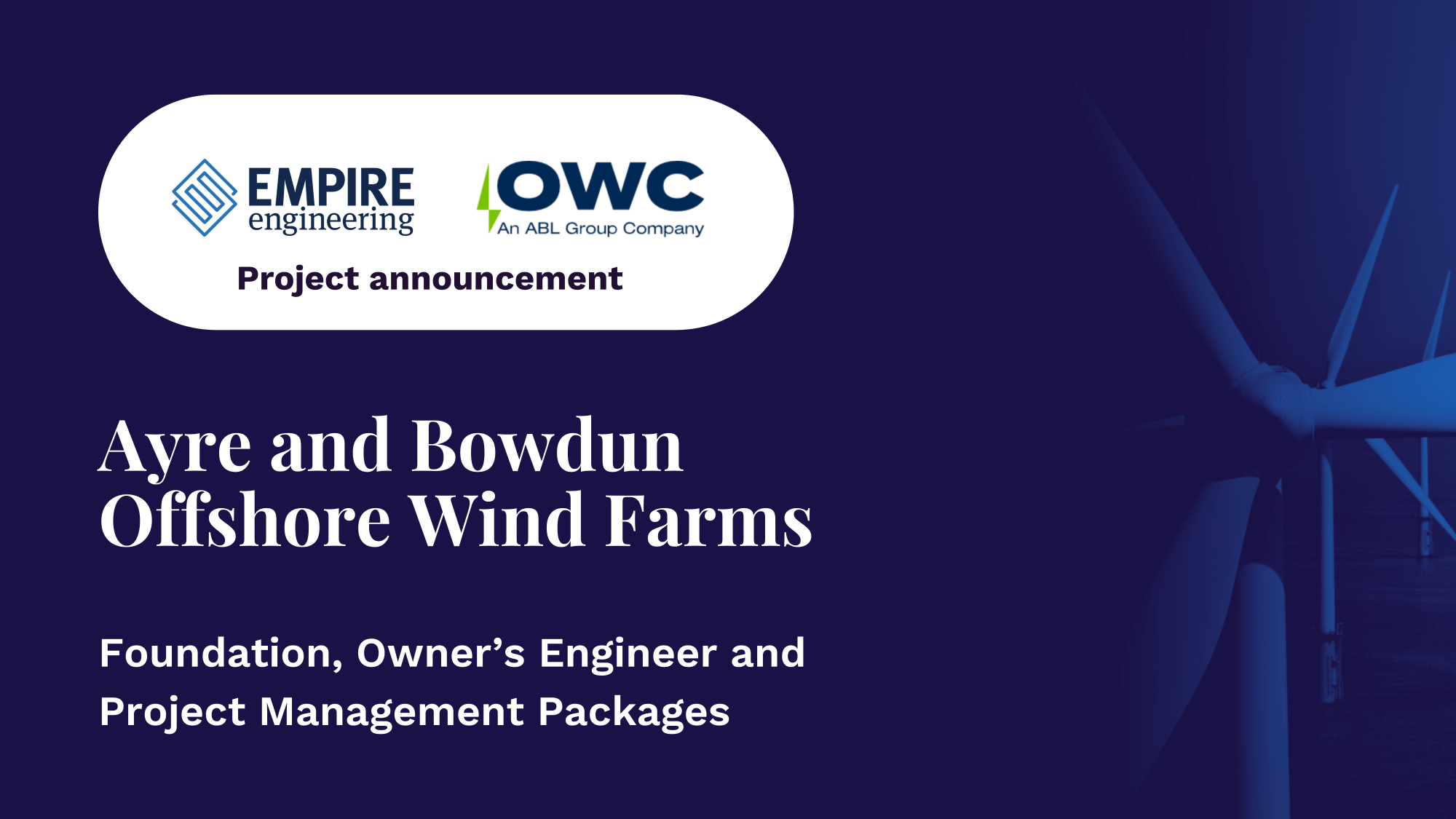
OWC and Empire Engineering to support Ayre and Bowdun offshore wind farm